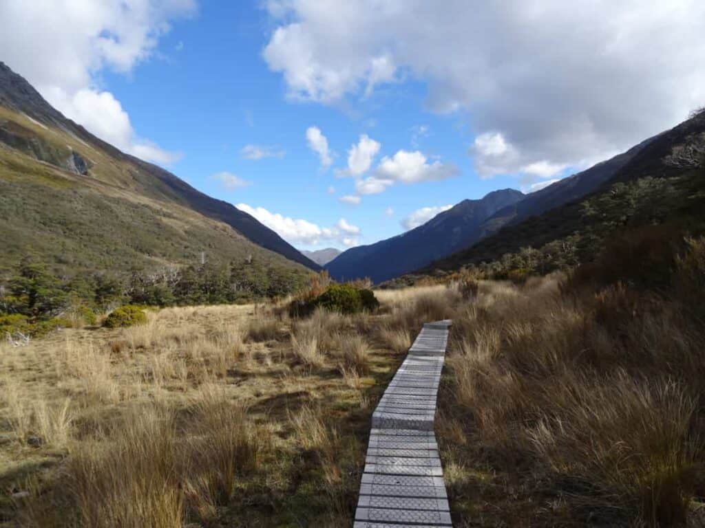
Before you commit to that hiking trail that leads you down a valley to a waterfall, or that trail that is a simple walk through the fall-scorched forest, it is important to know if you are able to complete the trail. Even the historic document of the Bible tells us to “consider the cost” of building a tower before we build it (Luke 14:28), so be sure to “consider the cost” of that trail you are about to go down.
Trails are measured by several different methods, including counting steps, GPS, and Surveyor wheels. Surveyor wheels are actually the most accurate of any other trail method currently being used. Across the board, the flatter and more open the area you are hiking through, the more accurate GPS will be able to measure distance.
In this article, we will first discuss the different ways hiking trails are measured (there are more than you think), which one is believed to be the most accurate, and the best way to measure the distance you yourself have gone on your next hiking trip!
By the way, as an Amazon Associate, I earn when buying qualified products through links on my site.
How They Are Measured
Hiking trails are measured in a number of different ways. There are GPS measurements done by satellite, non-GPS options such as a FitBit and mathematical equations (find the term that has to do with drawing conclusions based on a small amount of data), and lastly using something called a Surveyor’s wheel. In this section, we will discuss what each of these options is if they are good for measurement, and which one you should trust the most.
GPS
The Global Positioning System (GPS) is composed of a network of about 30 satellites orbiting around the earth at around 20,000 KM. They send out signals to GPS trackers on earth when the small antenna on the GPS sends out a message to the satellites. The GPS then calculates how far away various satellites are from the single GPS tracker based on how long the message takes to arrive, and from there are able to figure out where exactly in the world the GPS is located.
The problem with GPS is that tall structures, such as trees and buildings, mess up the measurements vastly. All it takes is one look at the above picture to see how inaccurate GPS readings are able to be. There is also the problem with steep changes in altitude, such as cliffs, valleys, mountains, and canyons, All of these things and more are enough to destroy the validity of the measurements made by the structures around you.
Non-GPS
These following systems do not use GPS to figure out actual distance, and while that seems to be archaic and not as helpful as satellites 10,000s of KM in the air, you might be surprised that a few of these options are actually more accurate than GPS.
Fitbit
A Fitbit is a device that measures distance through steps using a three-axis accelerometer. They are much less accurate at measuring the distance you have traveled and even the calories you burn, so take these with a grain of salt. These do not take into account stride length, so walking on a sidewalk is vastly different than walking up or down a mountain. Walking up elevation messes up GPS, and it messes up most FitBits as well, so prepare to have a margin of error when you are figuring out how much you have walked.
Counting Steps
There are a few different ways to go about doing this. You can do this by measuring several routes by counting your steps and then multiply that number by the average length of your stride. This could be inaccurate because of the massive margin for human error as well as the variation of the surveyor’s strides, such as when they go up or down a hill.
Secondly, you could measure the distance of a trail by measuring how long it takes for you to walk 1/10 of a mile and then divide that by how long you take to hike a certain section of a trail. This also includes some room for human error, but not as much, so long as he tries to keep up the same pace for the whole hike; which means it’s helpful that he took many breaks in sections of the trail, so he doesn’t get too tired.
Surveyor’s Wheel – Reinventing The Wheel
Also called a “click-wheel”, this handy tool is used to measure distance manually. It’s basically a wheel with a dial attached to a handle, and as you walk with the wheel, the wheel revolves over and over again. Once you are done with whatever it is you are measuring you can check out the dial (considering you remembered to set it to 0…) and see how many revolutions the wheel made over the course of your measurement, and from there you are able to calculate how far you have gone.
The pros to the Surveyor wheel are that it is very accurate when it comes to measuring distance, and you are guaranteed to get a vastly more accurate measurement with this tool than with GPS (although as GPS systems are getting more complex this might not be true in years to come).
The cons to the Surveyor wheel are that they do not account for changes in altitude, which, if we are being honest with each other, makes a huge difference. It is also very time consuming to use, so the professionals that use this tool need to give massive amounts of time walking the trails to get correct measurements, which also means there is room for human error in these measurements. Albeit, walking trails as a job sounds pretty sweet, but time is money nonetheless.
The most accurate one is the Surveyor wheel, because it is less affected by outside elements such as satellite blockage, and it is unaffected by human error, so long as the surveyor using it avoids making loopy lines and from going over too many bumps that may increase the distance to their measurement. The problem is that this way takes up too much time, and many National Parks would rather use Satellite in order to find out how long a trail is. Over time, however, I believe we will see more and more accurate machines that help with measurement.
Surveyors are also known to use a device called a Clinometer, which is used to measure the angle of elevation for tall things that you could not possibly reach the top of, such as buildings, canyons, even mountains if the surveyor is skilled with using the device.
Why Surveyor Wheels are Best
Don’t believe it? I didn’t either until I saw this image from this website that shows the differences between their GPS (green line), the data from the park service (orange line), and the information he collected himself with a surveyor wheel (black line).
How to Measure Your Own Distance
There are various different ways to measure your distance. Some of these ways you can measure by yourself and some of them involve using a GPS or Non-GPS. Here is a short list:
- Count your own steps. Figure out how many steps it takes you personally to walk a mile, and when you don’t have any other way of counting try this technique out! It may just be useful to have that number in your head for personal use for later.
- Figure out how accurate you FitBit is by testing it on a flat surface and walk a mile.
- As listed above, figure out how long it takes you to go 1/10 of a mile and then divide that by how long it takes you to walk a certain part of the trail, or the whole trail itself.
- Also listed above, you could use a Surveyor wheel and let it drag behind you as you walk, attached to your backpack. It may sound ridiculous, but I HAVE heard of people doing this.
- You could bring two GPS’ with you and compare the times, taking the average of the two, as well as computing what the park reported the trail to be as well.
- Check online forums. Sometimes someone else has taken the time to look into measuring the trail most accurately.
Conclusion
As we can clearly say, there is a discrepancy between what National Parks and State Parks post as accurate and what could be the actual distance. Most of the time the distance isn’t as dramatically off, but it is important to consult various sources to know the true distance if you are heavily concerned about it. I hope this information was helpful to you, and all your questions were answered. Happy trails!